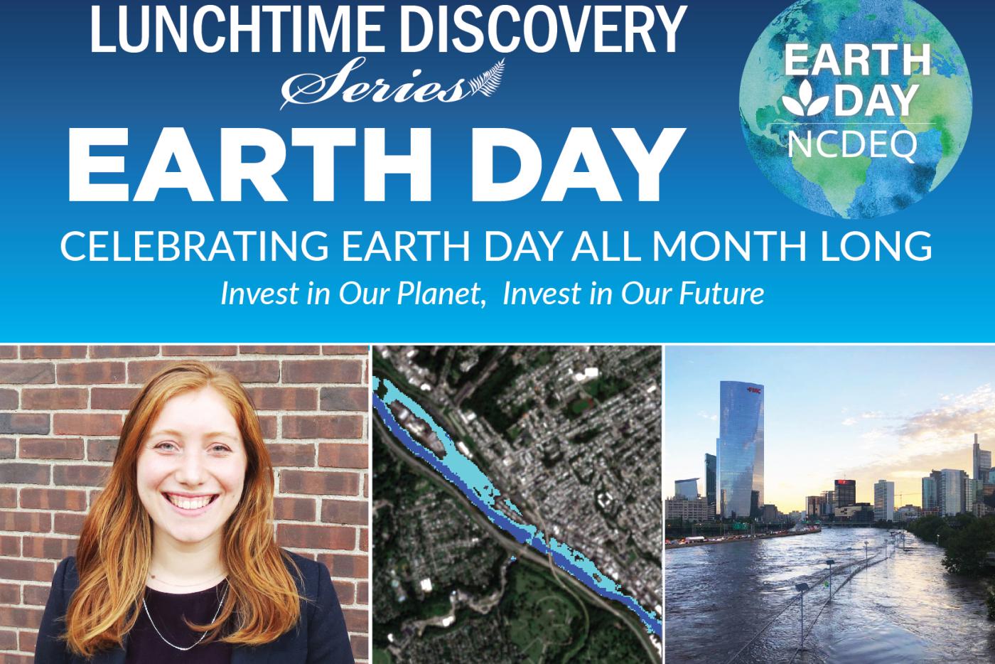
Rebecca Composto, Ph.D. Student at the Center for Geospatial Analytics at NC State University
Flooding causes many types of harm from economic losses and damages to disrupting daily life. In the past few decades there has been an increase in the quantity and accessibility of satellite imagery. This imagery, in combination with machine learning can be turned into flood maps that can help decision-makers recover and prepare for future events. We will explore different types of imagery and how they can be leveraged to map flooding.
The Lunchtime Discovery Series is produced by the NC DEQ Office of Environmental Education and Public Affairs in partnership with the NC Museum of Natural Sciences.